Verify a IIIF Crop Uses the Intended Region Coordinates
By ImgHeal · Updated
A IIIF region request can select the wrong detail when pixel and percentage coordinates are confused. Establish the underlying image dimensions and coordinate convention, then inspect the returned crop. A technically valid image response does not prove you requested the feature you intended.
Explore this topic: Find original photo files
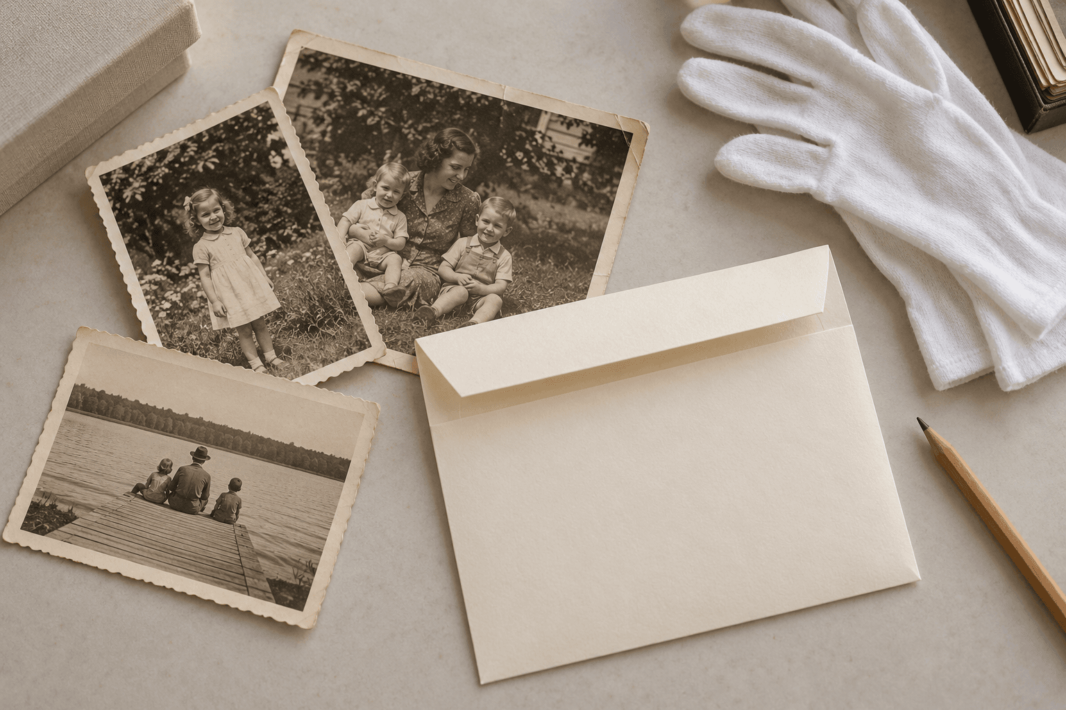
Choose observable crop boundaries
Open the source view and identify landmarks around the detail, such as a portrait border, a line of text, or a corner mark. Record which image service supplies that view. Avoid measuring only a browser screenshot, because its display scale may differ from the service's source dimensions. Keep the complete source reference available so another researcher can inspect the region in context. If the desired feature lies near an edge, include enough surrounding material to detect an offset or clipping mistake.
Use one coordinate convention consistently
The IIIF Image API documents region parameters expressed through pixels or an explicit percentage form. Review the syntax for the service version and keep the units visible in your request notes. Calculate from the correct underlying width and height rather than from a resized preview. Change one request component at a time, leaving size and rotation stable while checking the region. Respect the server's advertised capabilities. This workflow verifies a crop's contents; scholarly citation of the region is a separate task with additional source-context requirements.
Inspect the returned crop and retain context
Compare the saved result with the chosen landmarks and verify all four crop edges. Check that an apparently missing letter was not simply outside the requested region. Preserve the full source and label the crop as a derivative with its request parameters. If you later restore the detail for viewing, keep the original region output as the evidence reference. ImgHeal-generated reconstruction must not become the only basis for reading an inscription. Repeat the coordinate check if the service or source view changes, since an old region definition may no longer select the same feature.
Check this workflow
- Measure against underlying image dimensions.
- Record units explicitly.
- Verify landmarks and every crop edge.
Sources and further reading
- IIIF: Image API 3Defines image-service requests, information responses, supported transformations, and limits.
Questions about this restoration task
Can I use coordinates measured from any resized preview?
Not directly without accounting for scale and the correct source. Use the service's coordinate system and verify the returned region visually.
Continue with a related guide
Try a restoration on a copy of your photo
Keep the original scan. Upload a separate digital copy, review ImgHeal’s generated result, and decide whether it suits your needs.
Open ImgHeal